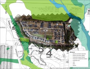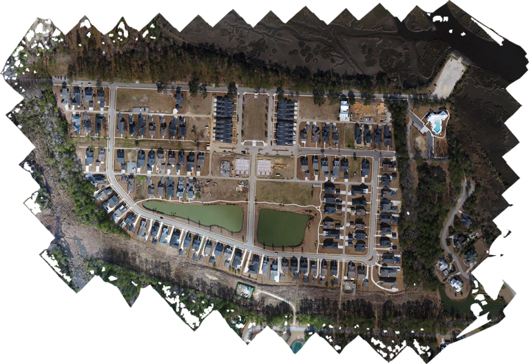
An aerial photograph that has been corrected geographically is called an orthophotograph, or in short, it is a photographic map. In GIS we use these maps as base maps, or maps that form the base of our data. These maps can be used to measure distances, additional data can be overlaid on top of these maps, or additional data can even be digitized from these maps.